
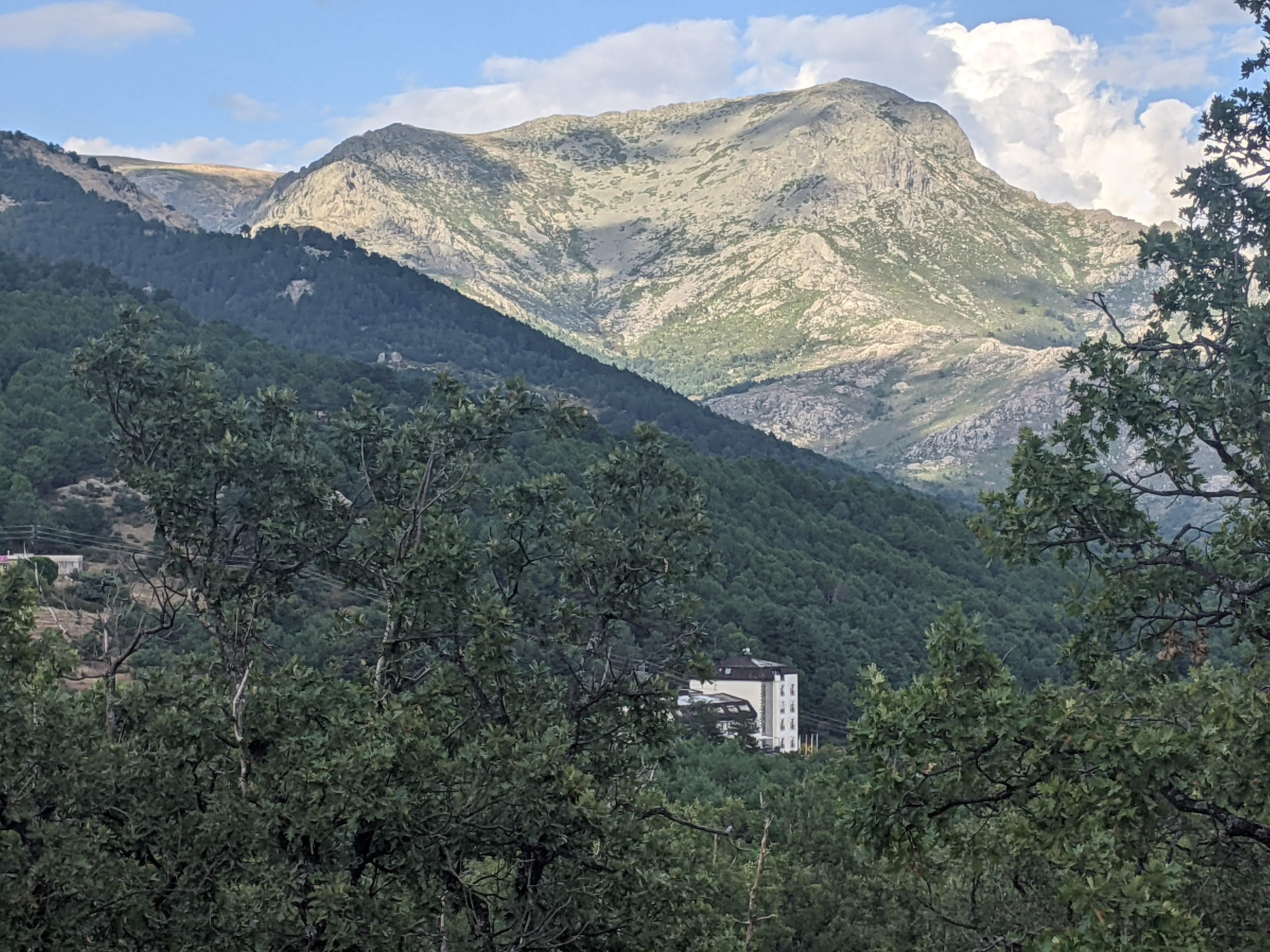
In this hiker’s imagery, La Maliciosa (“the malicious one”) is the biggest mountain in our modest sierra. Huge, really.
Not because of its modest height – 2227 m – significantly shorter than neighbouring Cabezas de Hierro (2381,( or the boss Peñalara (2428m).
Not even for the difficulty of summiting it. It can be reached comfortably from Puerto de Navacerrada, with little over 500 m elevation gain.
No. It’s all about its imposing south face – the one you see from Madrid and which I saw through my bedroom window for so many years. It’s a craggy site for our sierra, and any climb will involve over 1000m of elevation gain from the trailhead. Many hikers will make the summit from the beautiful, forested La Barranca valley, but I am partial to the drier approaches from and around Matalpino town.
It’s steep, relentless walking under the sun, in a rocky landscape that much resembles nearby La Pedriza. Further, the last section of the climb is off trail and will require basic routefinding skills.
But oh for the alpine atmosphere that you will enjoy on the summit, en route to it, and on the way down. The feeling of remoteness – especially on weekdays. And the possibility of designing wonderful loop hikes combining different approach trails, or partially hiking the long Cuerda de Porrones, a ridgeline heading all the way to La Pedriza, but which you can leave half way for a sharp descent to the town of Matalpino.
Wild, rewarding hiking that will test your stamina as well as your knees. Perhaps not surprisingly, I have only done the complete climb twice in the last five years, despite the very short drive from my house to any of these trailheads.
Goes to show.
Below are some photos taken on occasion of several outings in the last few years. Further down, some practical advice if you’d like to try these trails.


Practical information
Trailheads:
- Antennae trailhead in Matalpino. Cooridnates: 40.73294228287414, -3.9592536155119085
- Matalpino town
- Urbanización Vista Real
- La Barranca valley (this one is a bit removed)
If you don’ have your own wheels, there are two options:
a)Bus to Matalpino, Navacerrada or Becerril de la Sierra. The latter two will add 1-2 km to your hike or run
b) Bus to Puerto de Navacerrada, for the normal route to La Maliciosa.
(Both leave from Madrid-Moncloa).
Recommendations
.- These trails are essentially for the Spring and the Fall. Avoid any of these routes in the Winter or in snowy conditions, unless you are properly equipped (crampons, ice-axe, proper clothing). Unless in an extraordinarily cool day, avoid this area in the Summer, as you will roast.
.- Much of the hiking is off trail. There will be cairns, but a gpx device and downloaded tracks will reassure you. (Look for tracks in wikiloc.com)
.- If you hike, or if you run in the afternoon, take a headlamp with you. The going is very slow and you may finish much later than expected.
Sample routes: (Credit to wikiloc members)
